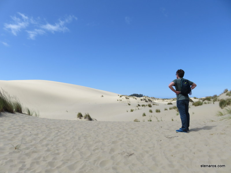
Due to the fact we were staying 90 minutes away from the place we thought we were staying, we cancelled one other planned activity, but we decided to still do the half-day kayak trip.
This meant getting out the door at six a.m. and retracing our tracks from where we had been. But we did it.
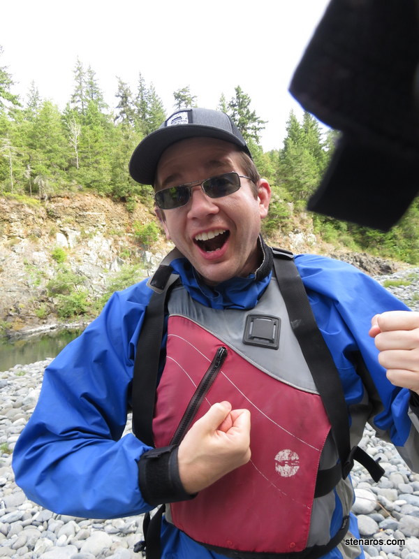
We were picked up at a gas station and taken to our launch point. First, we picked out jackets and life jackets. Matt is excited.
We kayaked for a spell. It was the first time either of us had done so. Aside from our guide, our group consisted of a father and daughter who had experience kayaking in bays. The woman was from Portland.
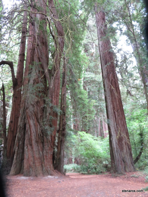
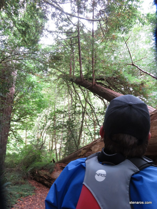
The day was nice and the river was low, so it was a leisurely trip. Halfway in, we got out to do a short walk through the redwoods.
Our guide grew up on the Smith River, which is the only free-flowing river in California. He showed us the rock where he got married that summer, and the house he grew up in, which overlooked the river. The next day, he was starting back as an eighth grade English teacher.
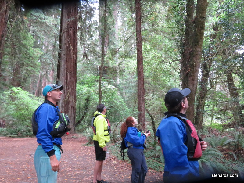
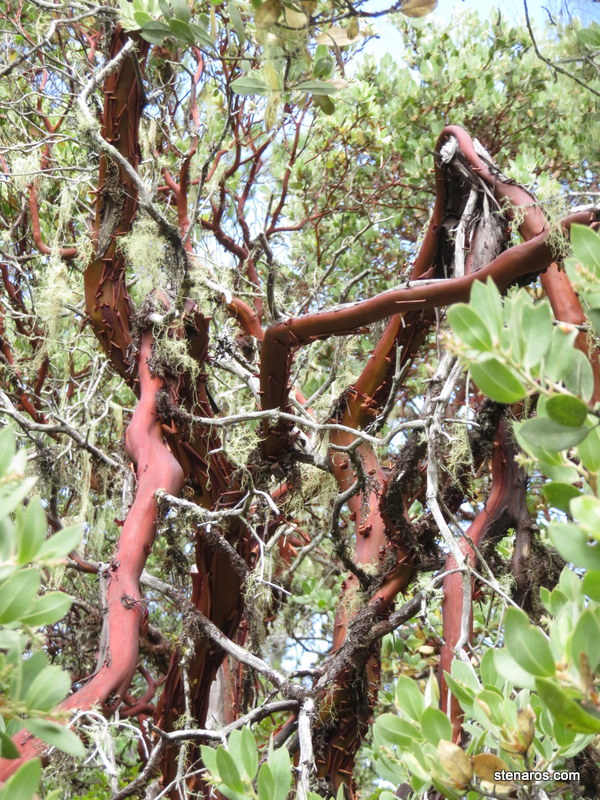
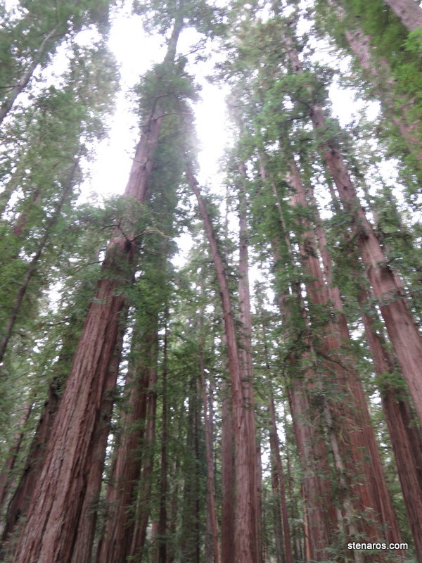
He was a great guide and gave us lots of good information about the trees.
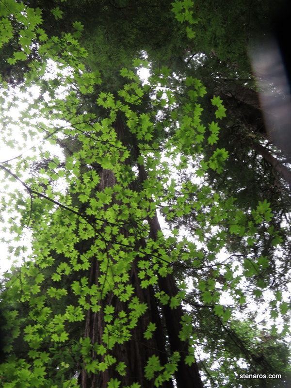
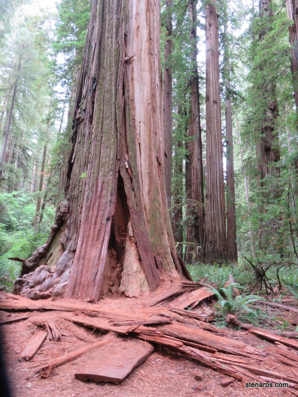
It was very cool how the redwoods loomed.
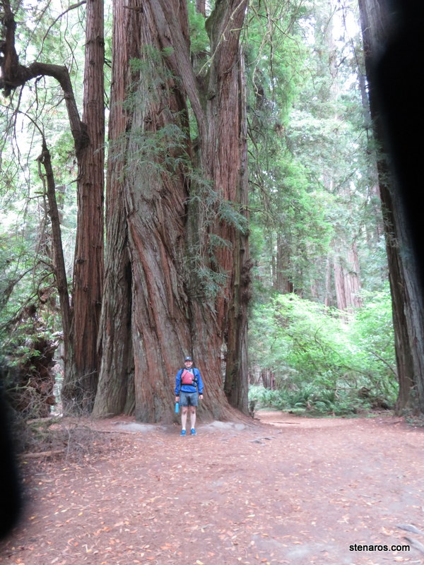
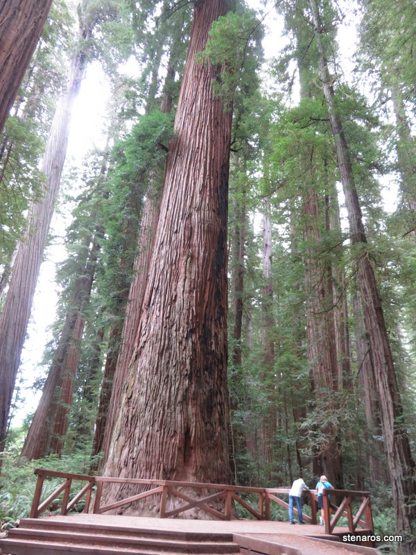
This platform was built to protect the tree’s root structure. It’s fairly shallow.
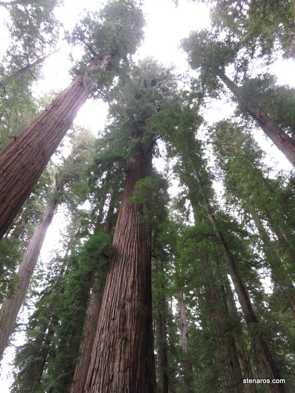
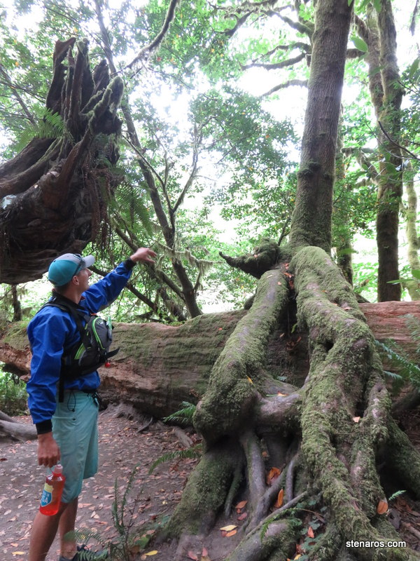
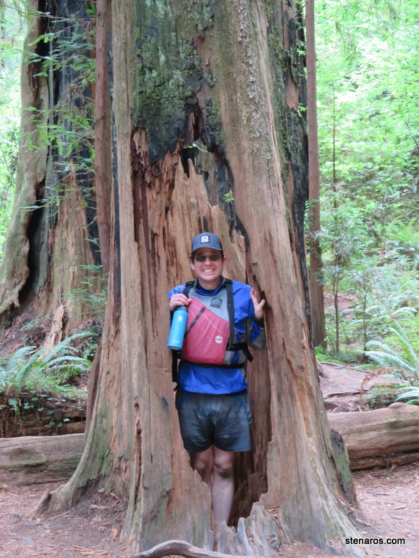
Since Redwoods don’t have a tap root, they can keep growing even when their center rots out. Hence the ability to drive through trees.
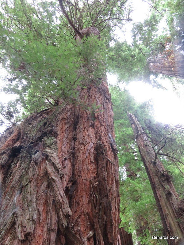
Or stand inside a still-growing tree.
After that, it was back in the water. I enjoyed kayaking and would like to do it again someday.