While in Arizona, I get to put together a Stave Puzzle. Dad and Barb know someone who knows someone in the Stave Puzzle world. Those people lend Barb their Stave Puzzles.
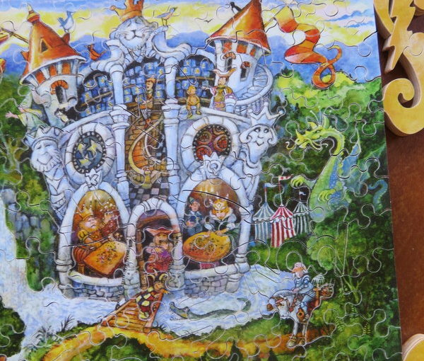
Stave Puzzles are wooden puzzles that are cut by hand and have great artwork. They are also very difficult to assemble, as they don’t come with a picture and some of the pieces are tricky. And it just gets harder as there are fewer and fewer pieces. Near the end of this one, there were times when I just tried every available piece to find the one that fit. And that boarder almost killed me.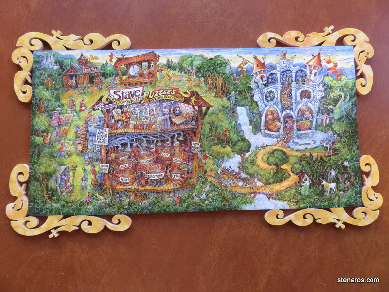
Here’s a detail. The puzzles are customizable–this one had the names of the grandchildren–and have silhouette pieces in different shapes like birds, and the traditional Stave Jester.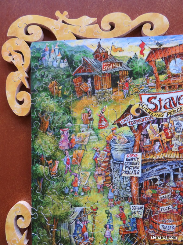
This one was a tiny bit easier due to the words If you look at the bottom of this photo, you can see the name Brad spelled out as a puzzle piece.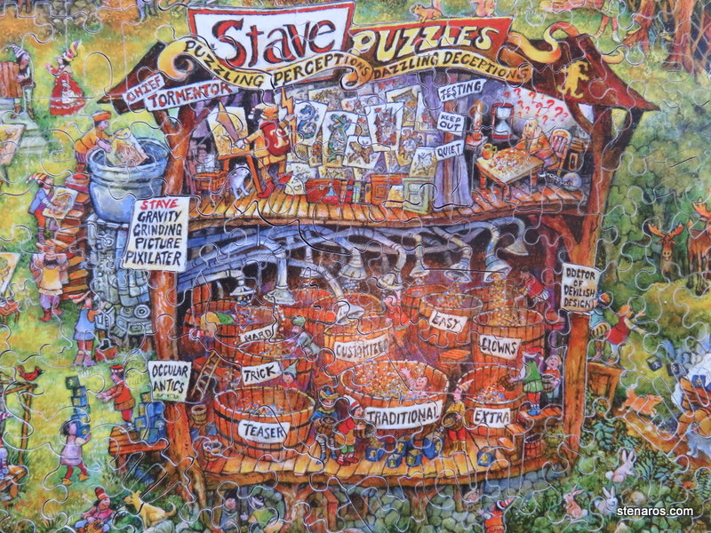
Once we got to the castle area things got hard. Upside down and in the right corner of this puzzle, you can see the piece that says Hannah. And the name Rod is visible on the right side of the moat.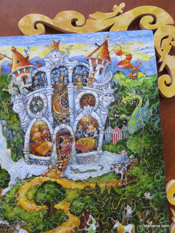
After I came home, I suggested to my boss that we buy a Stave Puzzle for a celebration at work, given that we usually have a jigsaw puzzle going. Then I looked at the prices. Crikey! I was told they were expensive, but I had no idea. I couldn’t find this puzzle on their site, but, for example, this Peony Bouqet starts at $837.00 for a 6×9-inch version. Based on those prices, I’m guessing I was putting together a puzzle that cost $2,500
Rich people have cool things.


