I really enjoyed this story about kids on a choir trip. It stuck with me.
I really enjoyed this story about kids on a choir trip. It stuck with me.
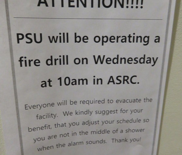
I’ve been swimming at the Portland State University Pool and today they had this warning up. 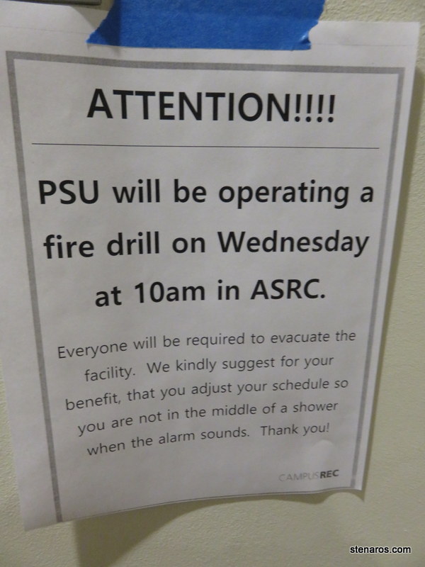
I’m dying to know how many non-text-based people were showering when the fire drill happened.

This was homework watching due to the upcoming release of the remake, but I was happy to find it was enjoyable homework. I enjoyed Brynner & McQueen’s chemistry and the gradual change of both the townspeople and the hired guns was a pleasure to watch. It’s rare to find a movie this old that kept me interested for the entire run time* but this was one!
Cost: free from library
Where watched: at home
poster from: http://www.impawards.com/1960/magnificent_seven_ver2.html
*I often am bored during older movies, so much so that I recalibrate my expectations regarding pacing for films made prior to 1980.
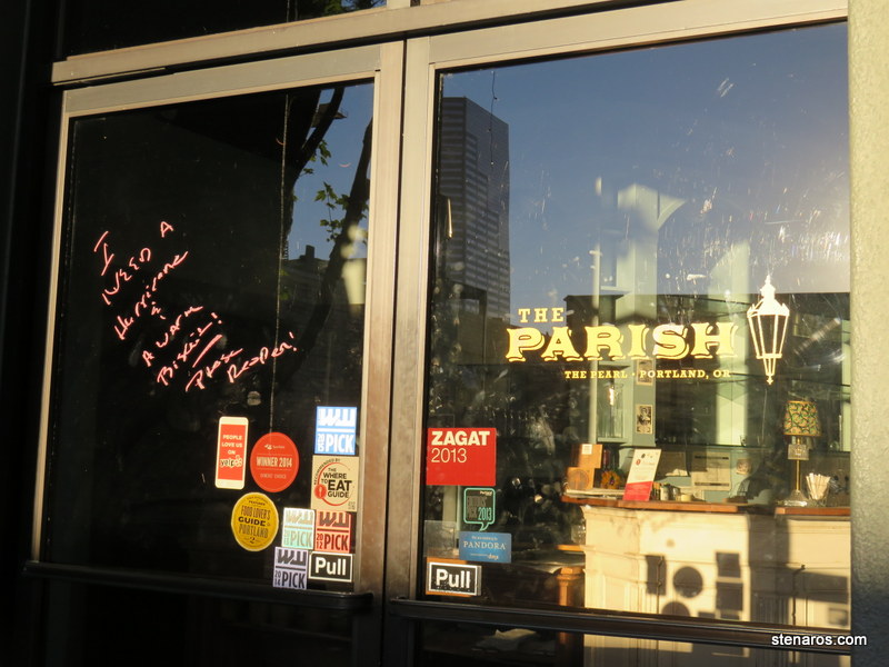
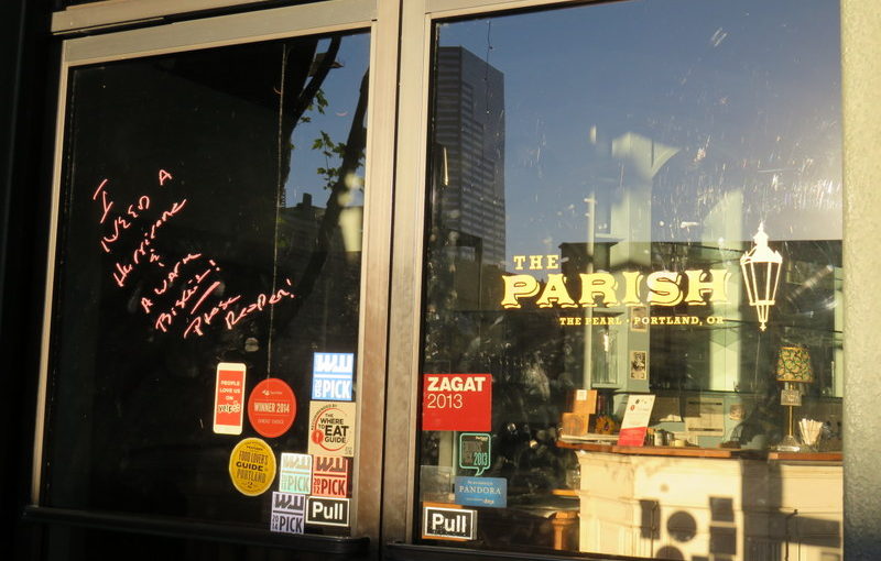
Someone marked on the door “I need a Hurricane and a warm biscuit! Please reopen.”
Sadly, this person’s plea went unheeded. The location is now the home of the Pearl Tavern, which is owned by a local football star.
One last picture of our cabin. I liked our cabin and the resort. I did find it weird our cabin had no access to a water spigot. It wasn’t a big deal for us, because we used a spigot from a nearby unoccupied campground, but were the resort full, it would have been weird to walk to the bathroom for water every time we needed it. Also, the showers were pay showers, which was annoying. And there was no place to do dishes. Usually there is a water dump station. When I asked at the lodge, they said to do them in the bathroom. As the women’s bathroom did not have a faucet that worked properly, Matt was in charge of the dishes. So there were some problems. But overall, it was a nice, affordable place to stay.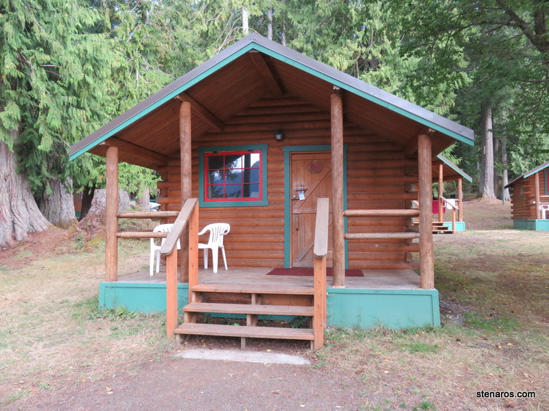
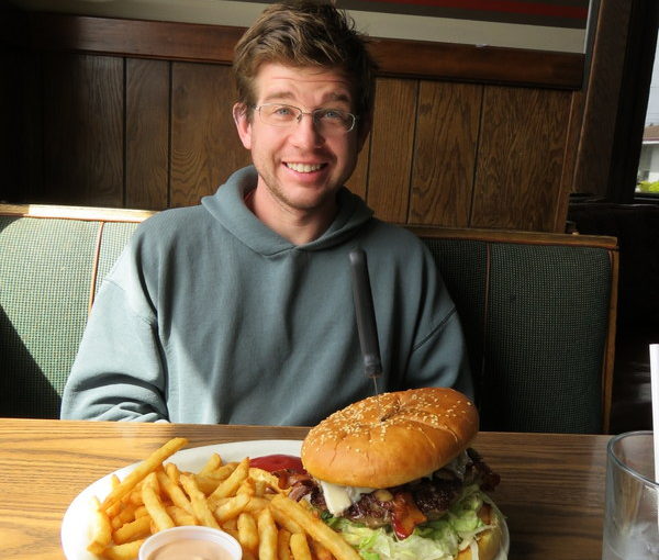
This was on the way home. We stopped in Hoquiam, where we just missed some sort of parade. Not only was it a huge burger, but the fries were top-notch too.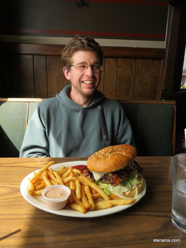

Here’s what I learned about Olympic National Park on this trip. It’s BIG. We were already staying in the park and the drive to the Ozette area was very long. More than an hour. Thank goodness we had Game of Thrones for Matt to read while I drove.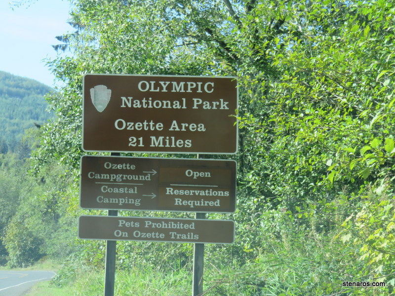
This blurry photo is to remind me we were at Point of Arches. Anchoring photos are my favorite thing about digital photography. Since I’m not worried about wasting film, I can always take pictures of signs. In the future I will never have to wonder where the heck that pretty vista is from.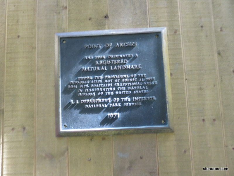
Learning about the area.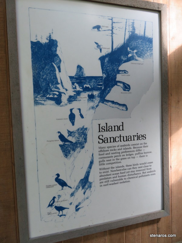
We were hiking the triangle. Three miles of boardwalk trail to the beach, three miles of beach, three miles of boardwalk trail back. Matt poses at the beginning. I love how the sign has two different graphics saying that dogs are not allowed. Dogs facing to the right? Nope. Dogs facing to the left? Nuh-uh.
We did not spend any time at Ozette Lake, but that is it in the distance.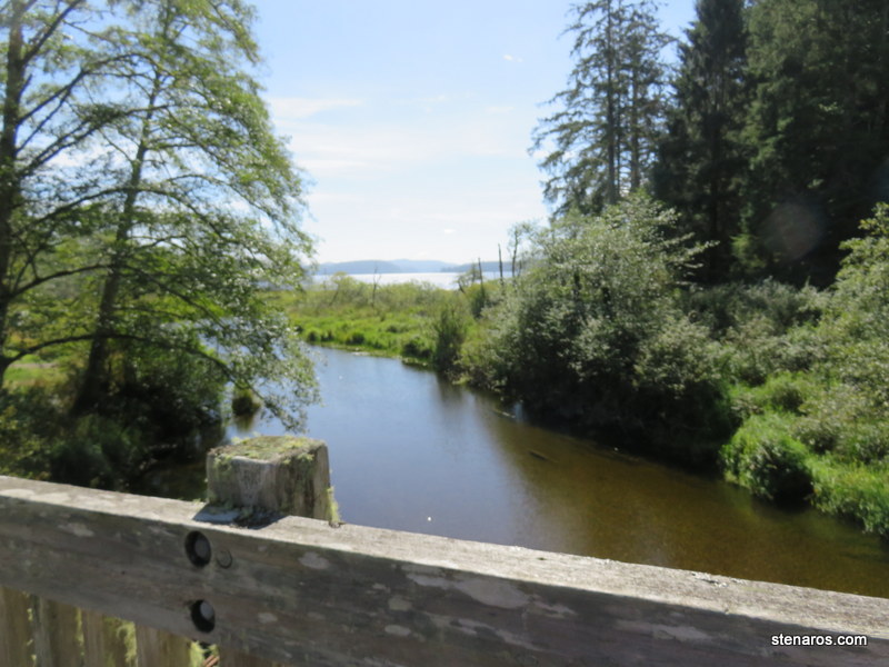
We went right, toward Cape Alava.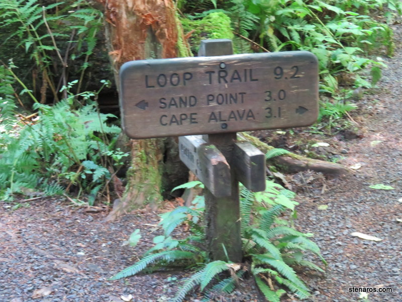
Our boardwalk. It wasn’t particularly slippery, due to it being early September, before the rains really start again.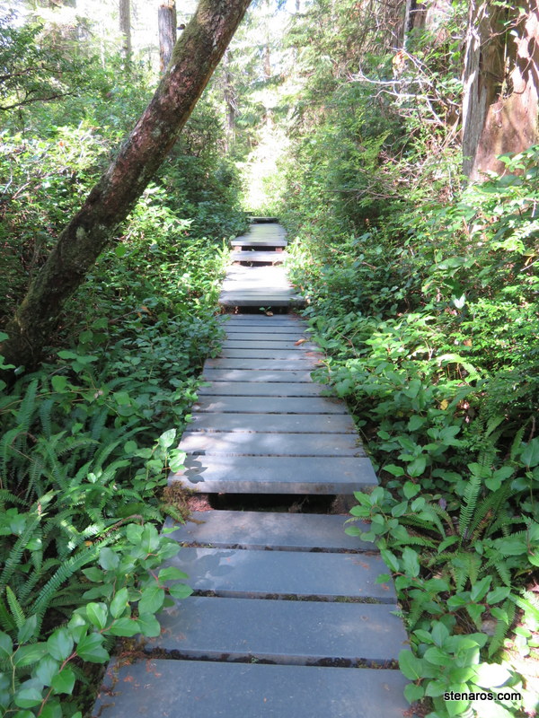
Some tantalizing beach.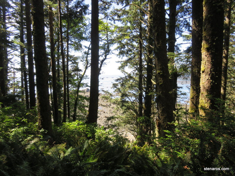
Matt on the beach. You can see how rocky and remote it is. Looking at Google Maps, it seems that Cape Alava, where our first section of trail ends, is in the southern part of the Ozette Indian Reservation. Interestingly, google maps shows the trail to Sand Point, but not the trail to Cape Alava. It also marks Wedding Rocks, which were the petroglyphs that we missed. This person saw them, though.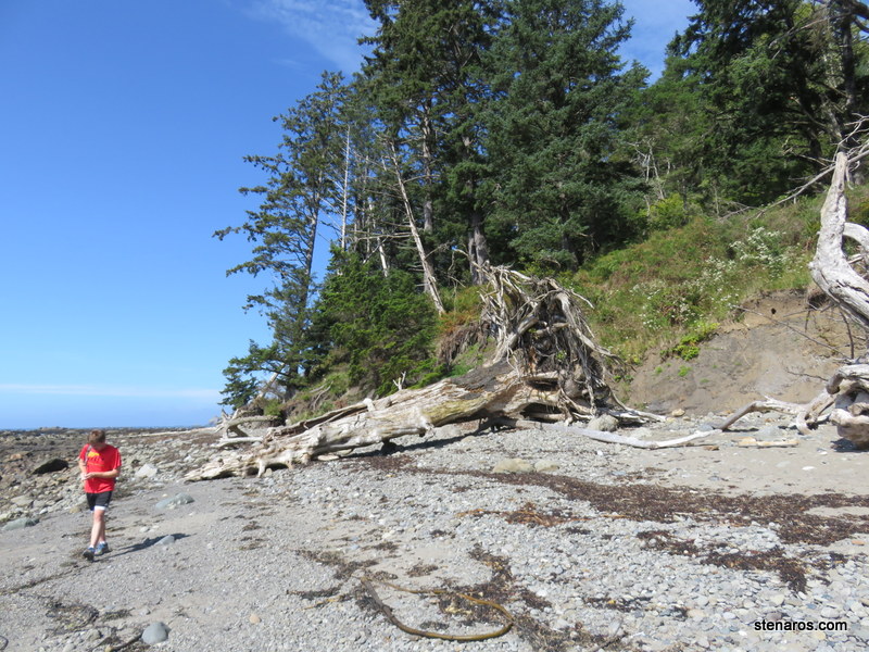
Here’s the thing about this hike. In our hiking book, it was a level 1 hike. I chose it, because the hike from the day before was really exhausting. (It was a level 3 hike). This was not a level 1 hike! Three miles of walking on sand, picking your way across rocks and over driftwood is not easy. And three miles of not easy does not equal a level 1 hike.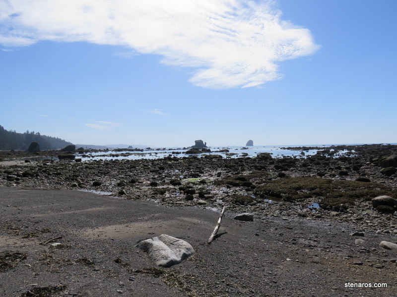
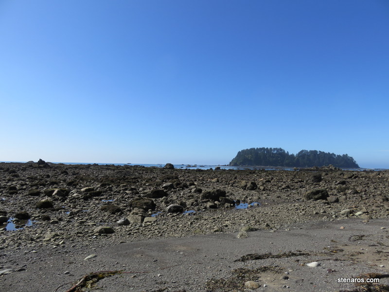
As you can see, the tide is pretty far out as we began the beach walk portion. By the time we made it to Sand Point you could see how much it had come in.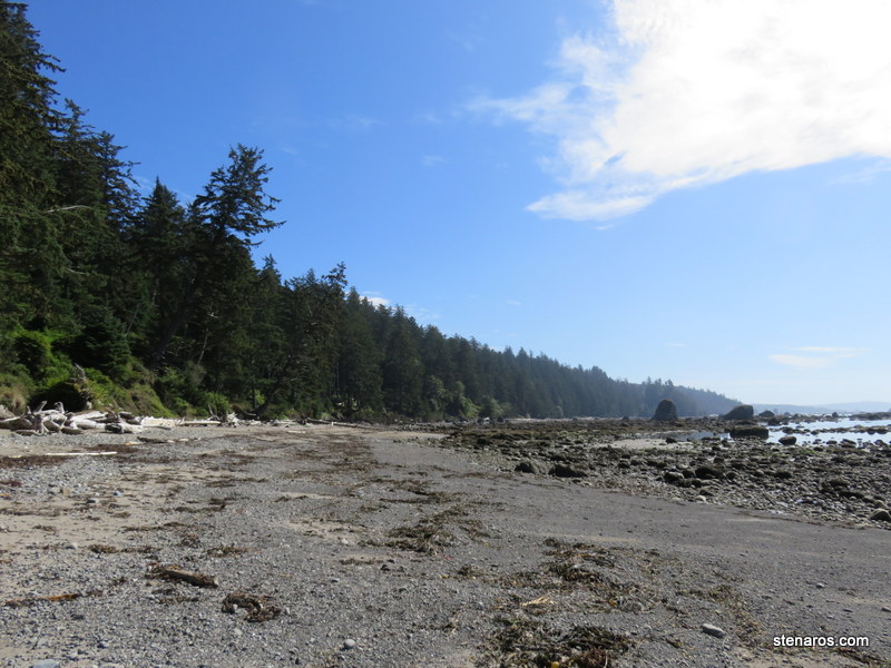
The driftwood was impressive. You can barely see Matt standing at the other end of this tree. So very tall!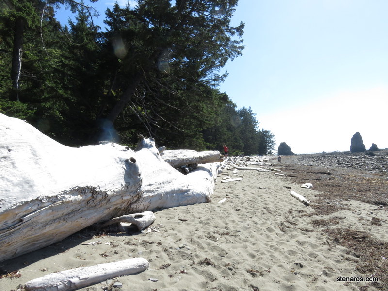
Me on some rocks.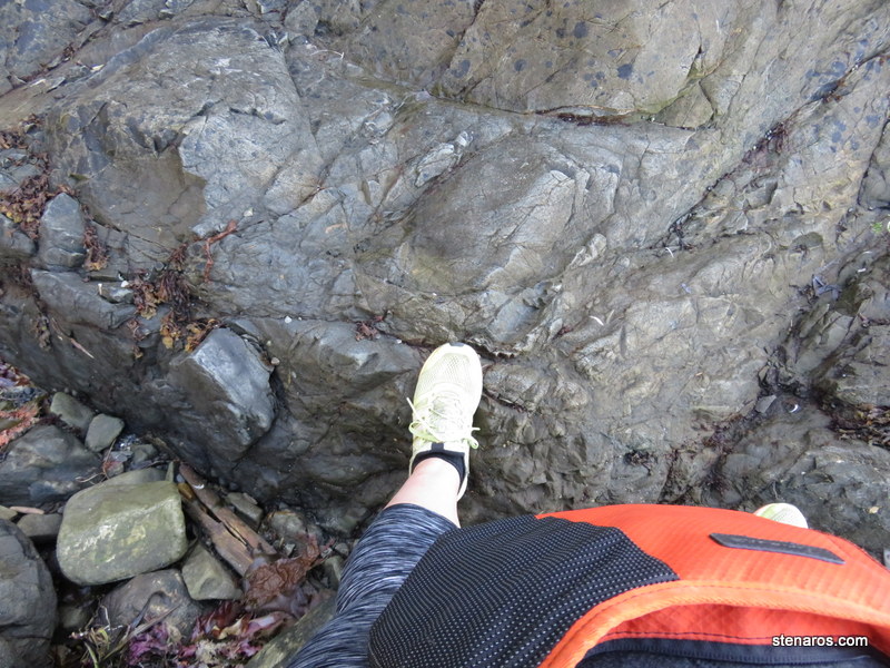
I was glad the tide was out for this part, because we would have had to climb a very steep incline to get over this point if the tide had been in. Looking at the post from that person who did see the petroglyphs, I think this is the location.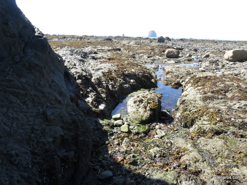
Matt finds some seaglass.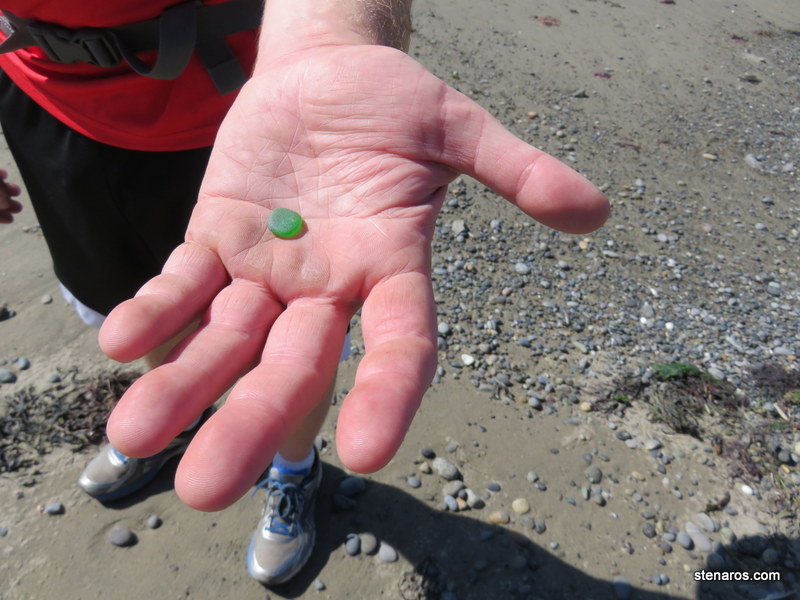
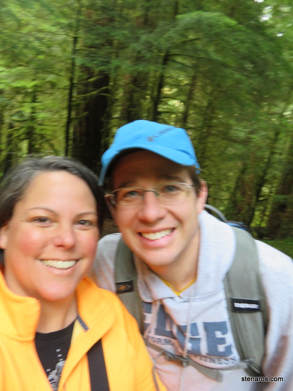
Self-portrait. 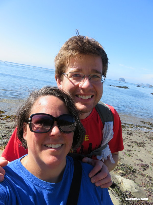
Sand Point is along the horizon line. We did not hike all the way out to the end of it. Instead we started on the third leg of the triangle. You can see the tide has come in. No rocks are visible.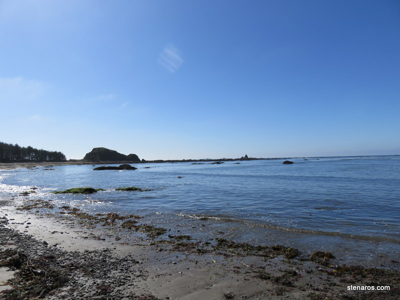
Only three miles back to the ranger station.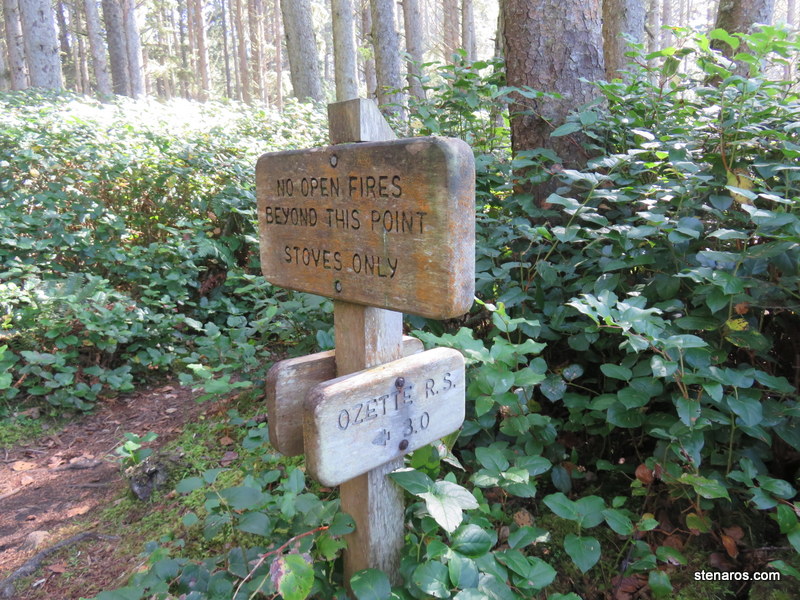
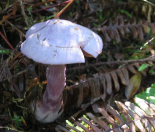
There were some very pretty lavender mushrooms.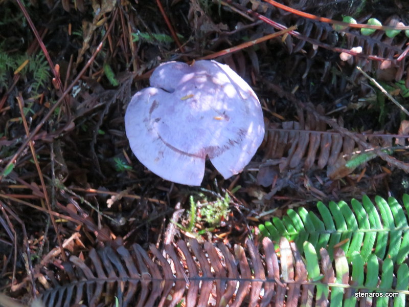
The color didn’t quite come through in these photos.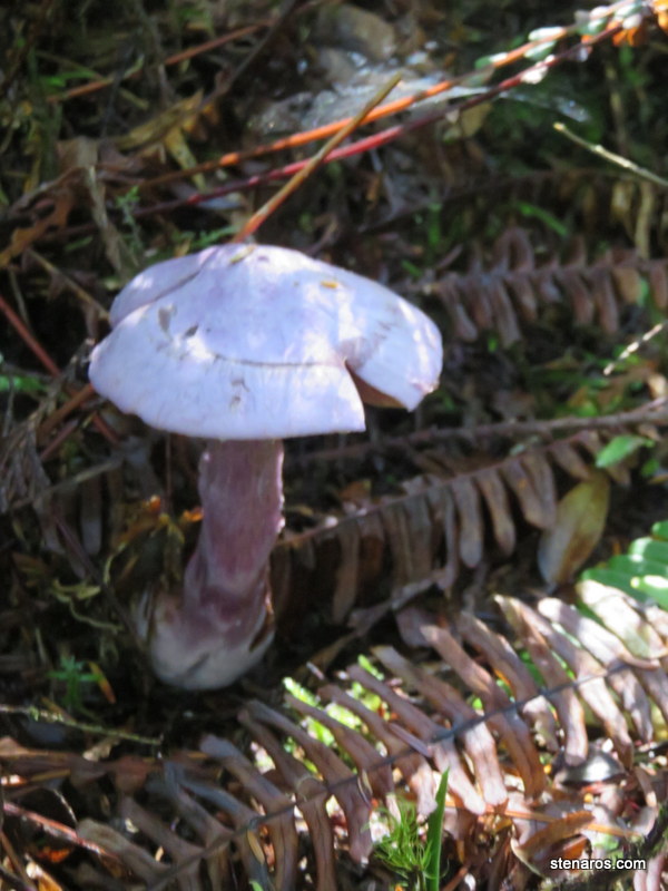
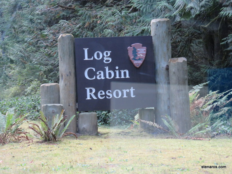
Morning at the Log Cabin Resort.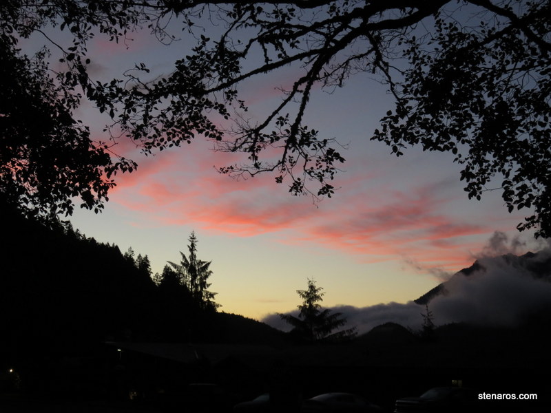
More clear blue of the lake.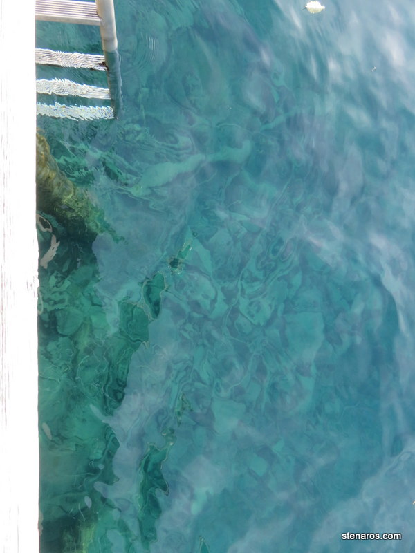
Before we began our hike we wandered down to see the lake. Though waiting until after Labor Day to visit meant a little too cold for swimming, it was nice to visit with relatively few people around. It was mostly just us and old cheery retired hikers.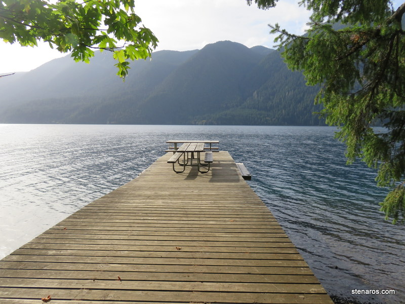
Moss steps. Peak Moss Month (PMM) must be really spectacular here.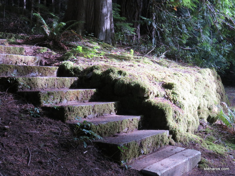
Heading up to Pyramid Peak. We started at lake level.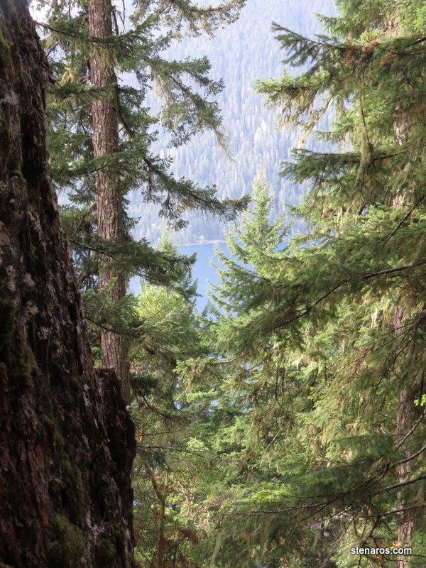
Matt crosses a very small stream. 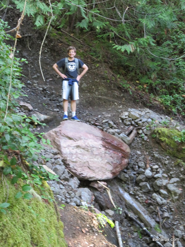
More elevation gain.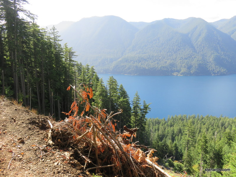
This was the hardest part of the hike for me. I felt like I was going to slide down the face of the gravel slide. 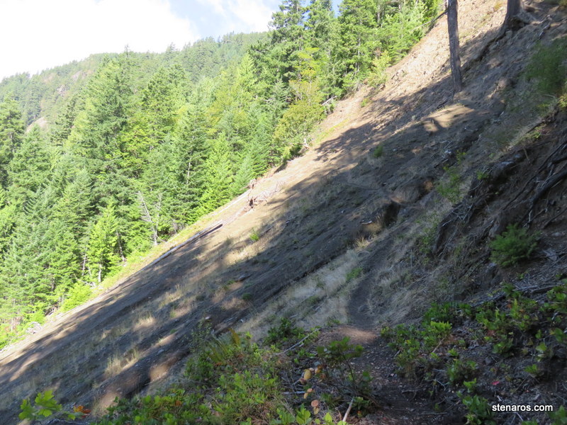
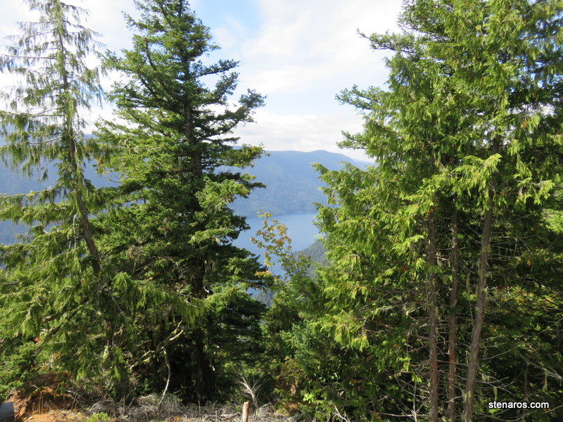
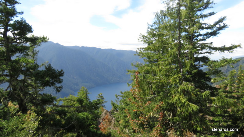
We’ve gained even more elevation. We are at the top! This is a nice view of the land bridge that separates Lake Crescent and Lake Sutherland.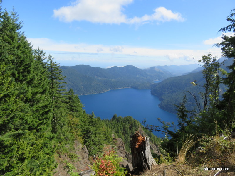
There was a little too much cloud cover, but you can also see Canada from this location. There were a few moments of clearing where I caught a glimpse.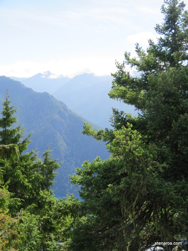
It’s a long way down. We met a hiker here who said her husband was kayaking around the lake while she hiked to the top of the mountain. They had plans to wave to each other.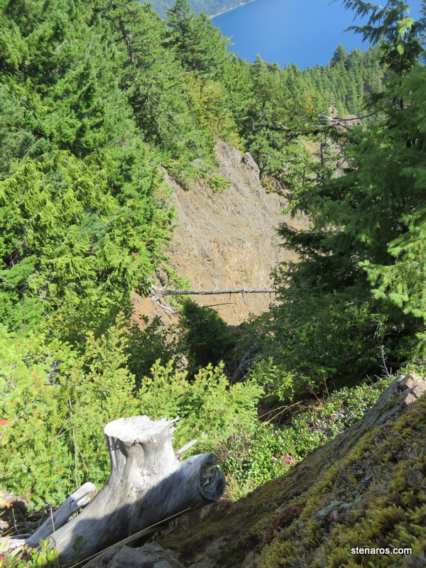
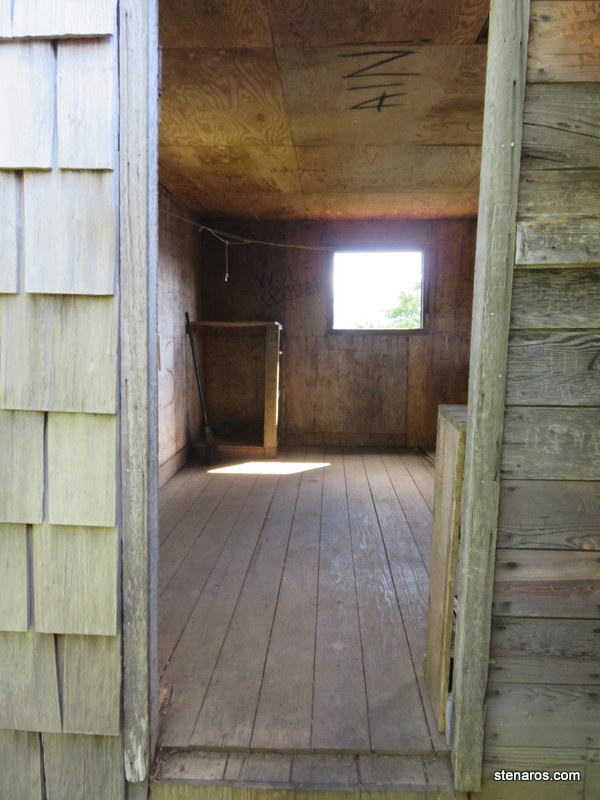
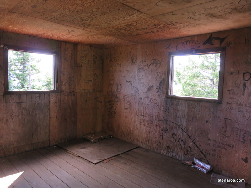
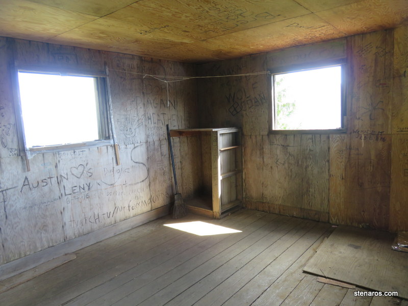
Matt outside the lookout tower, posing next to some graffiti.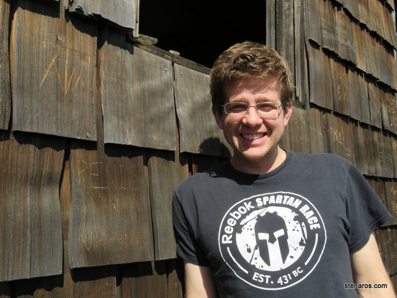
I liked the cables on the lookout tower, which were added to keep it from blowing away.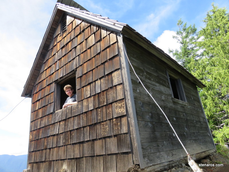
It was a long 7 miles, but we did it.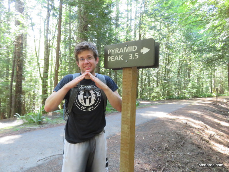
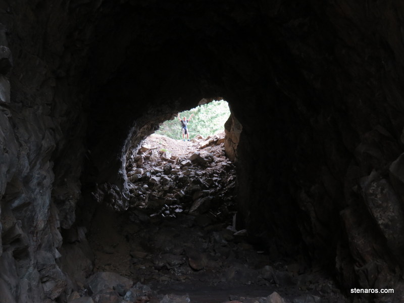
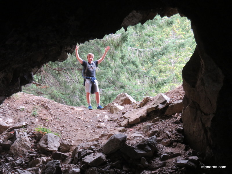
Random marker that seems to have nothing associate with it.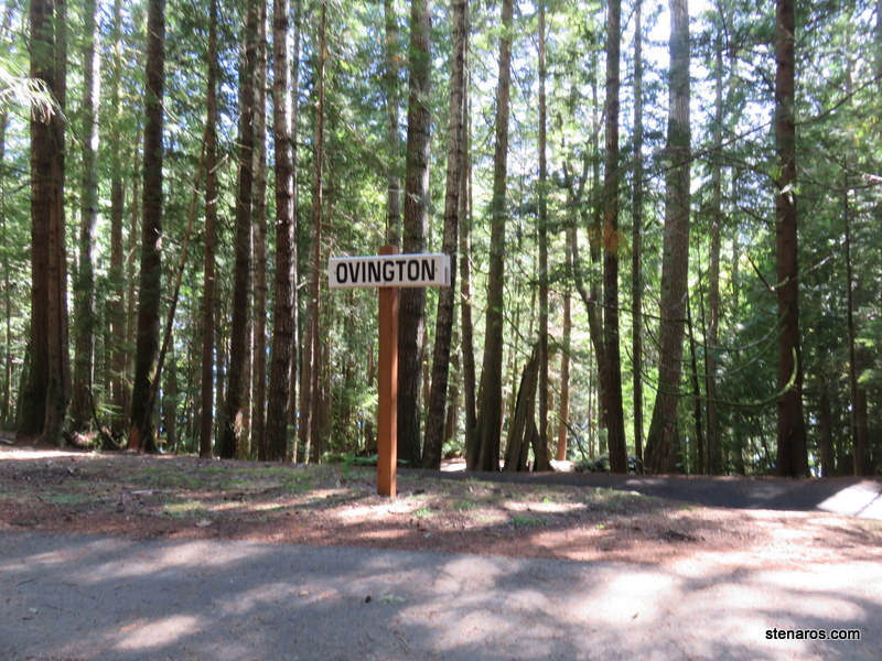
I attempted a post-hike swim, but only made it halfway into the water.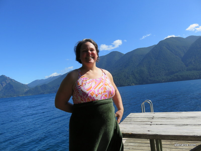
I took a picture of this to I could figure out what it was. I did not figure out what it was. The internet failed me.
The hike I had planned for today didn’t work because the road was closed, so we came back and did the Spruce Railroad Trail which was 8 miles round trip of mostly flat former railroad beds.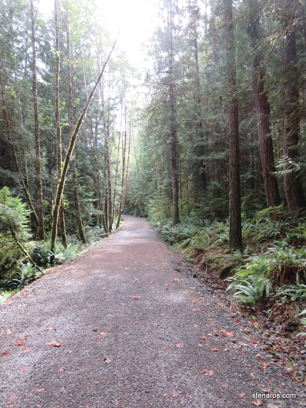
A view of the Log Cabin Resort, where we stayed. You can’t see our cabin, it’s hidden behind some trees. Next time I’d like to stay in one of the chalets.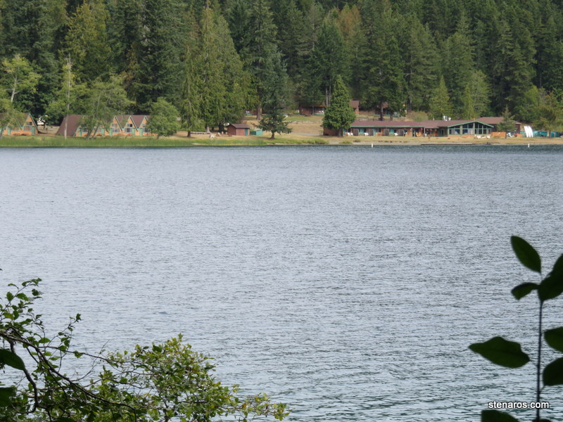
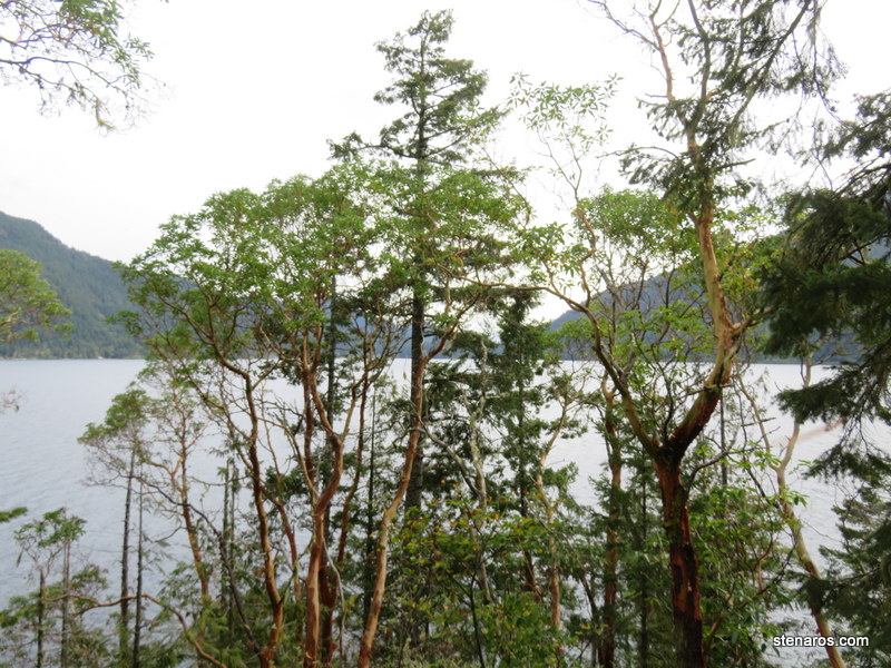
Lake Crescent was a brilliant blue.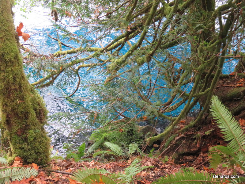
Devils Punchbowl. On hot days, people jump from the bridge. It was not a hot day.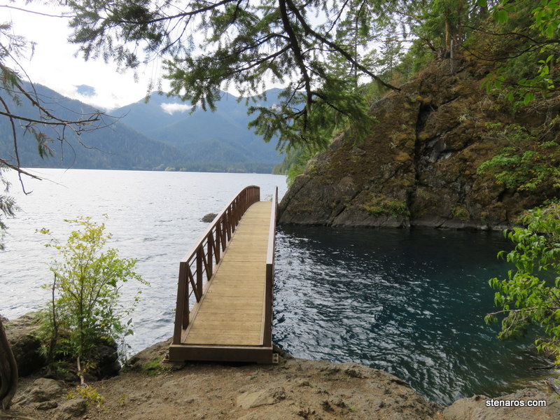
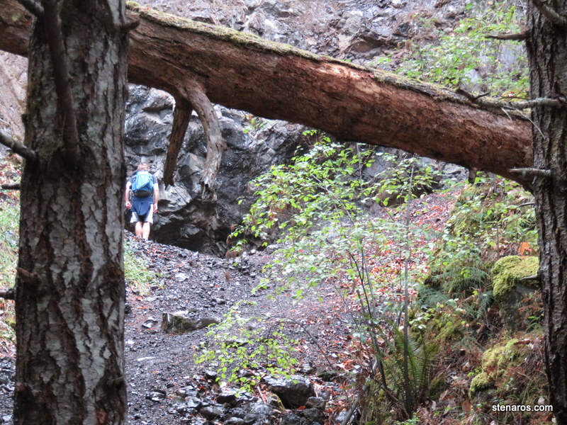
Matt exploring. 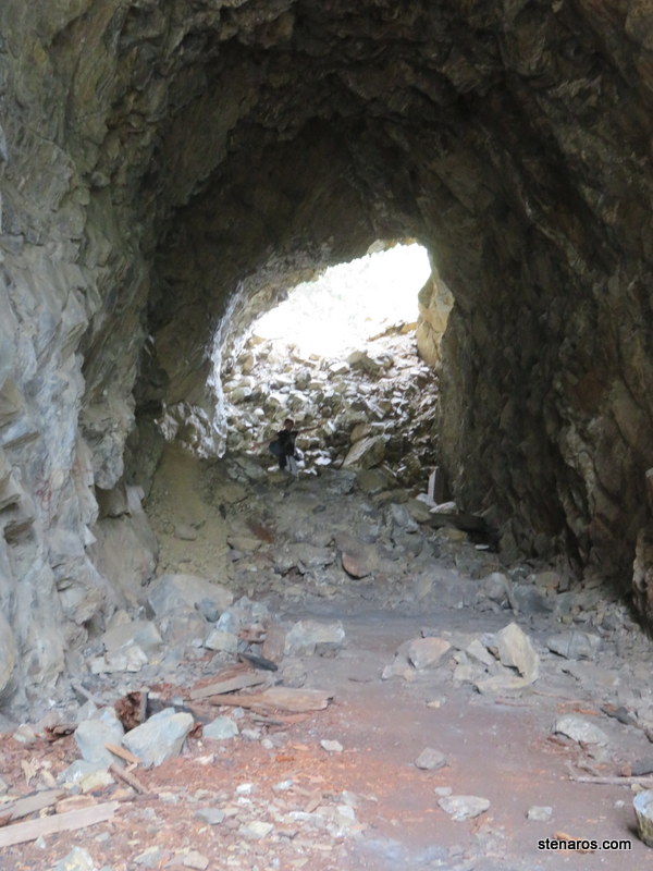
We’ve reached the other end, now it’s four miles back.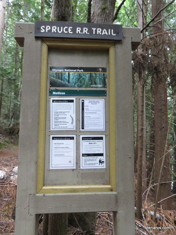
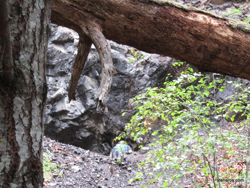
More exploring.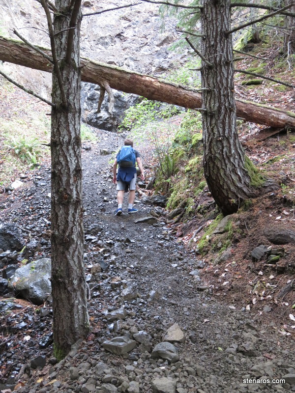
Our cabin.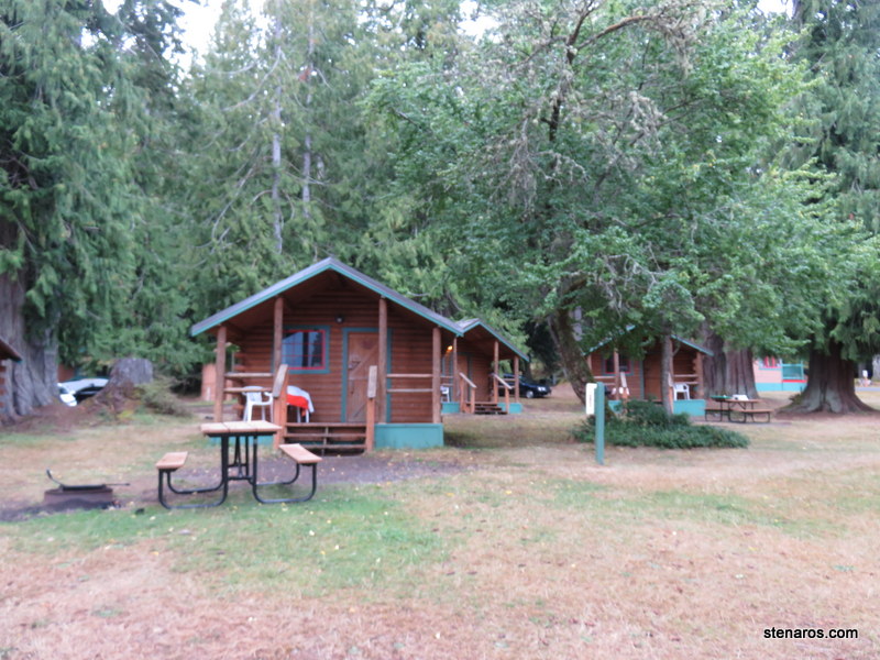
One of the points we could have used to enter Lake Crescent if it was warmer.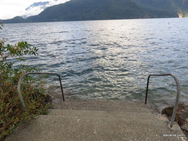
Boat ramp. They had various things to rent, including stand up paddle boards. We did not partake.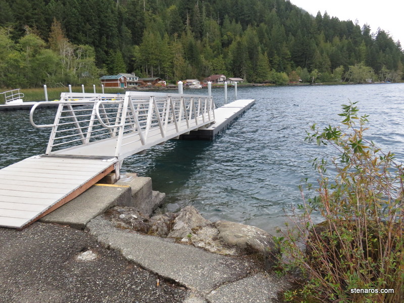
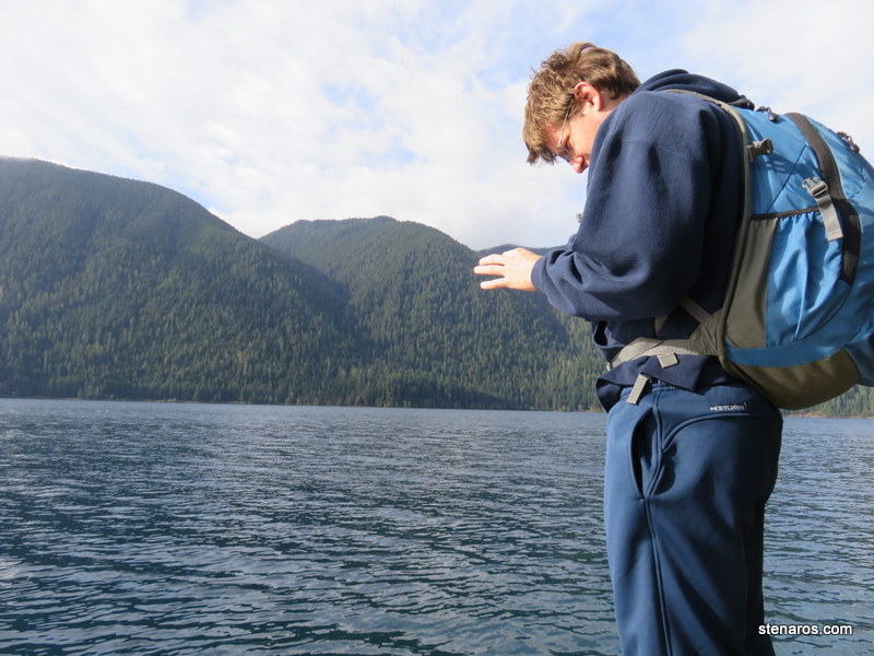
Matt and the lake.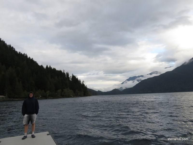
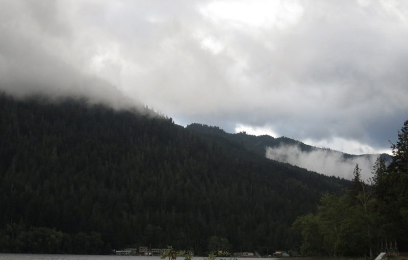
Lots of good clouds. 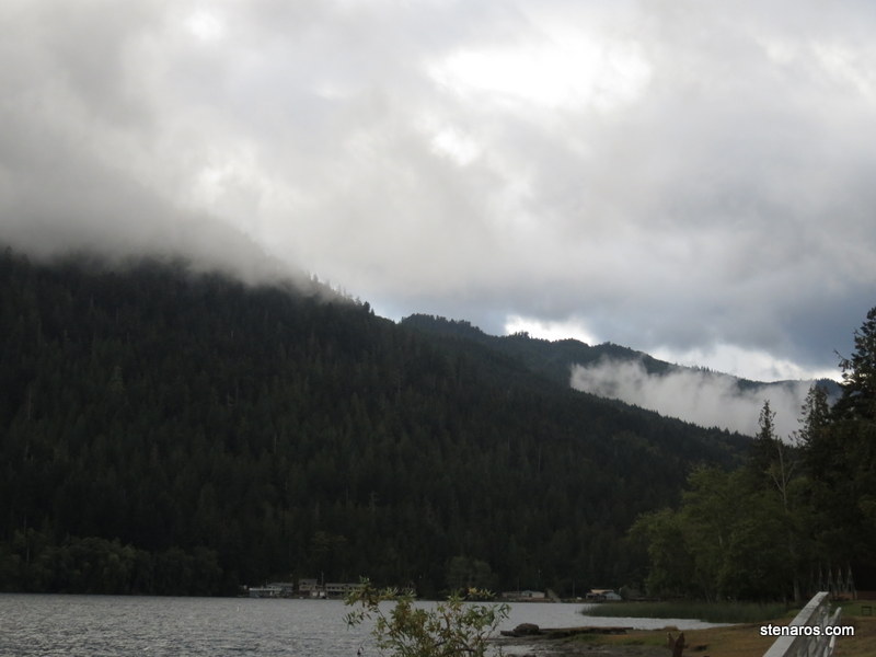
We’re in the land of Twlight, (the book, not the movie) so I took to referring to the weather in vampire terms. Today was party sparkly vampire.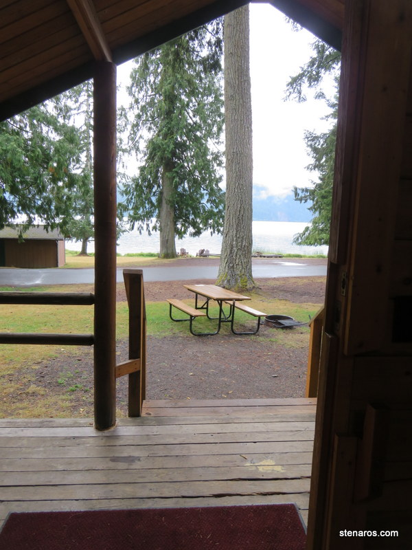
As you can see, the lake was just outside our cabin.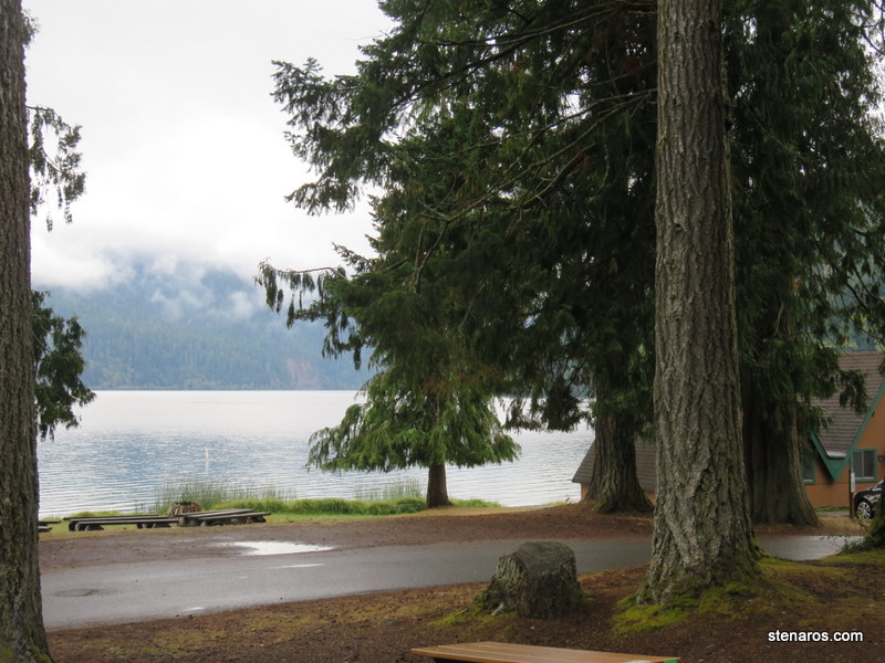
We headed off to see Soleduck Falls.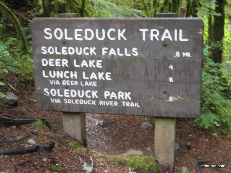
Bear country! Luckily we weren’t camping.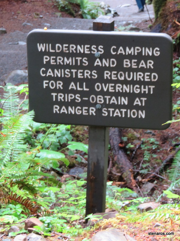
More Olympic Park greenery.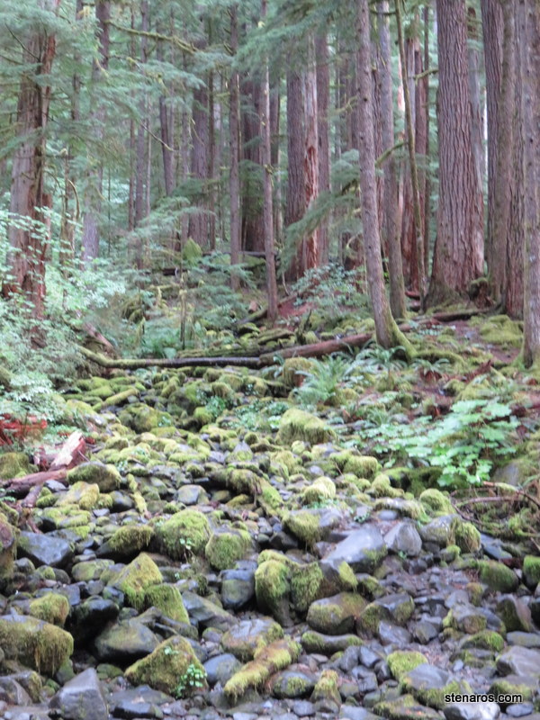
This was an interesting waterfall because it split into three falls.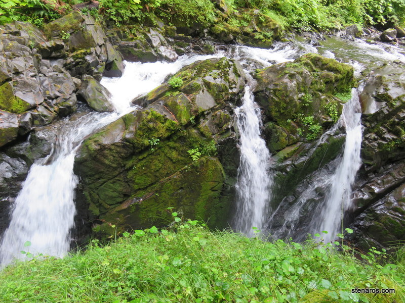
It wasn’t far from the parking lot to this waterfall, and it was also a launching point for many different trails so there were a lot of people taking pictures of Soleduck Falls.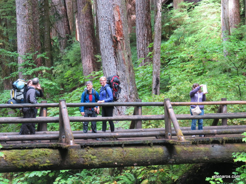
The drop from the top of the falls to the river.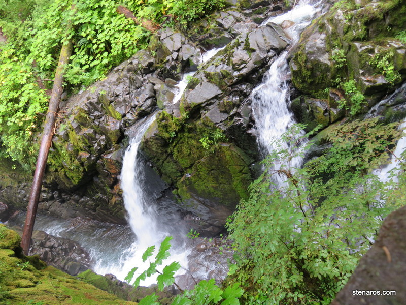
Blurry self-portrait. There was a young-dumb-and-full-of-cum-type guy off to our right, walking on the rocks where he shouldn’t have been. I was waiting for him to slip and fall.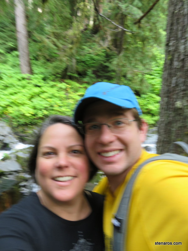
Because that fall wouldn’t be a pretty one.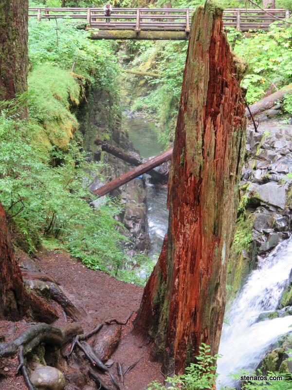
We headed off for Lovers Lane Trail. (No apostrophe) 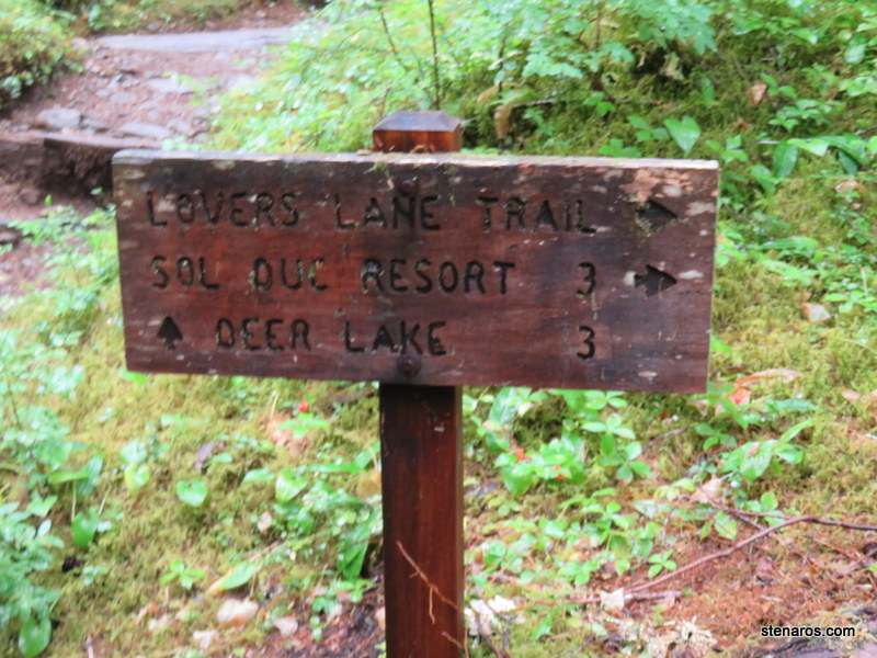
Tall trees and greenery.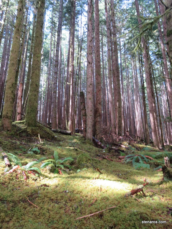
Having a rest.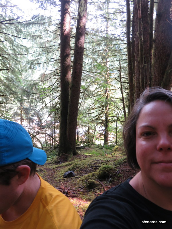
Our hike took us through Sol Duck campground. I liked their way of visually depicting how many campsites were available, and for how many nights. I think a red tag meant reserved for two or more nights. Yellow maybe meant reserved for one night.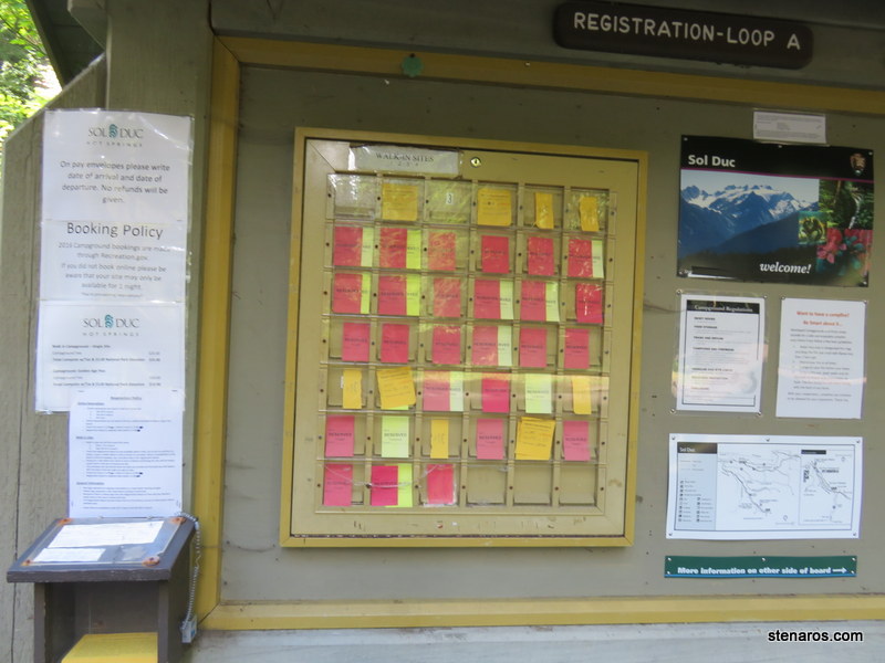
There are no pictures apparently, but we stopped at Soulduck Hot Springs. It was nice. They had three separate pools (hot, hotter and shallow for kids). There was also a full-sized unheated pool. Matt and I did hot/cold plunges. Matt was not enamored of the smell.
We stopped to take a look for salmon.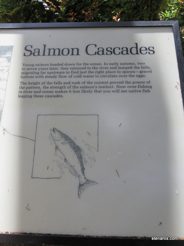
Just like the sign promised, we did not see any salmon.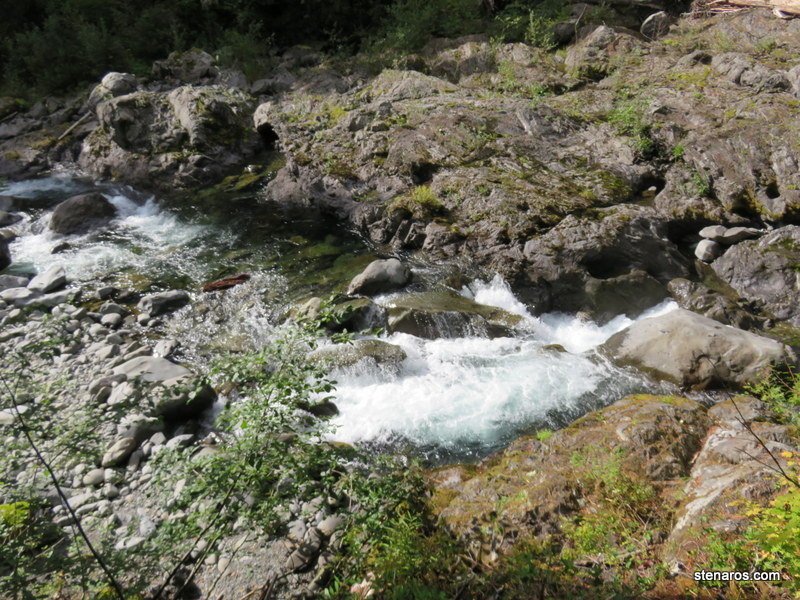
Logging truck. Also, I was interested in this construction zone, which was operating without a flagging crew. There were two temporary stoplights which were programmed to let alternating lanes of cars go.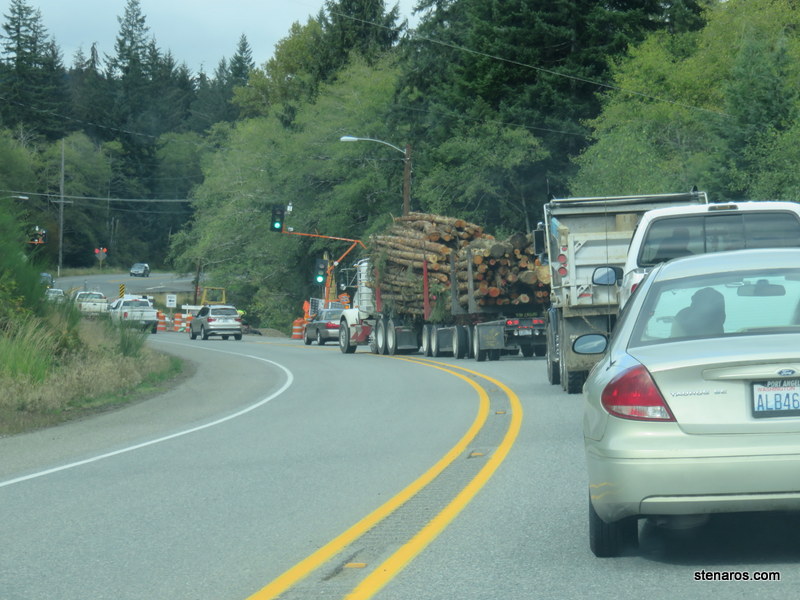
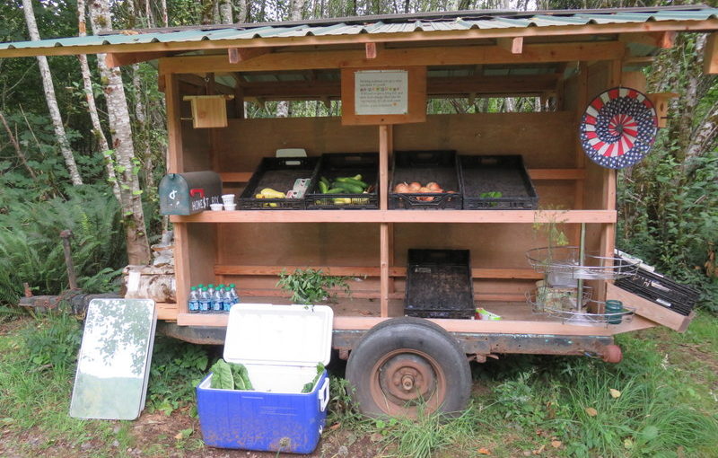
I loved this little roadside stand.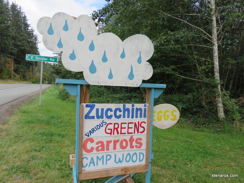
So many fun bits of produce. There were also books and other items such as an exercise bike. I bought a zucchini for our dinner.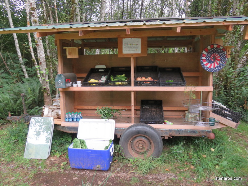
Blurry self-portrait, with bonus bra strap and detail of rear-view mirror tilter.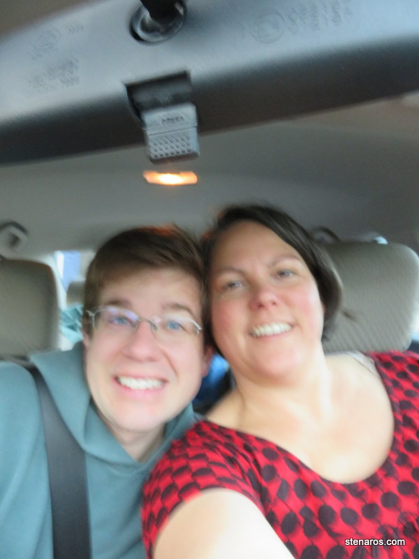
I was hoping for unseasonably warm, due to the fact we were staying at a lake. But it seems I’m getting totally seasonable weather. 
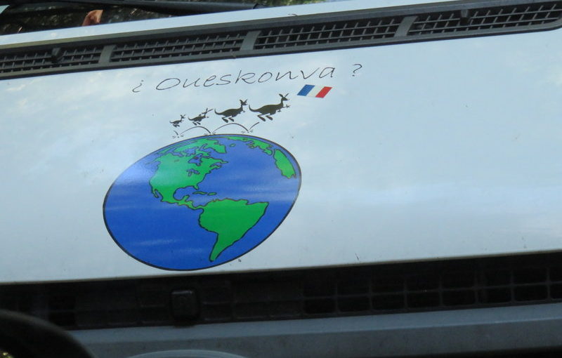
It’s always fun to see what this billboard has to say when driving on I-5 on the way to Seattle/points north of Portland. (Matt took this picture)
Instead of the normal I-5 drive to Seattle, we took a turn toward our destination: the Olympic Peninsula. It took us through Aberdeen, not only the hometown of one Kurt Cobain, but also the Gateway to the Olympics. I’m giving those quotation marks the side-eye.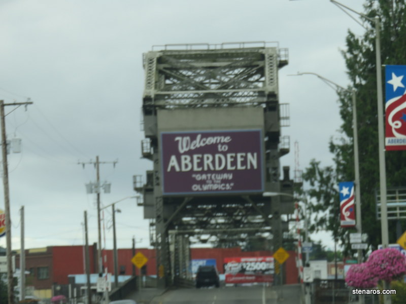
We weren’t headed for the Ocean Shores (as inviting as those did sound) we were headed for Forks! 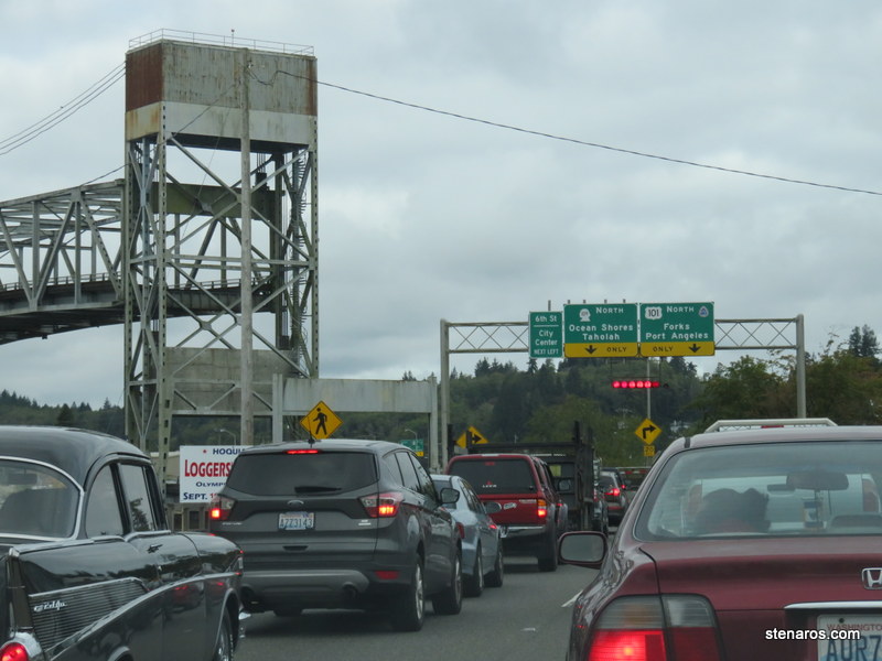
I drove, Matt read. We were alternating between Emma Mills First and Then and George R.R. Martin’s A Game of Thrones.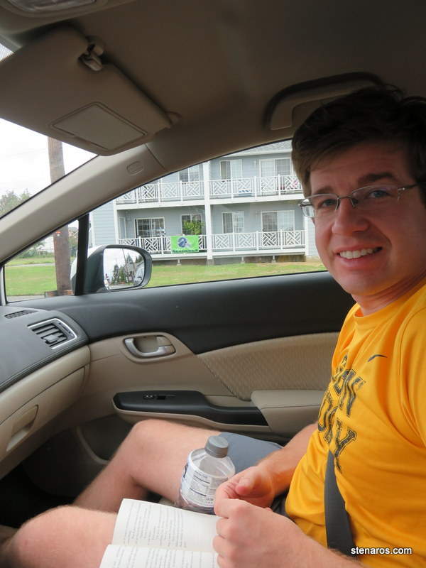
Our vacation area. We stayed at one of the resorts on Lake Crescent. Which was inland a bit.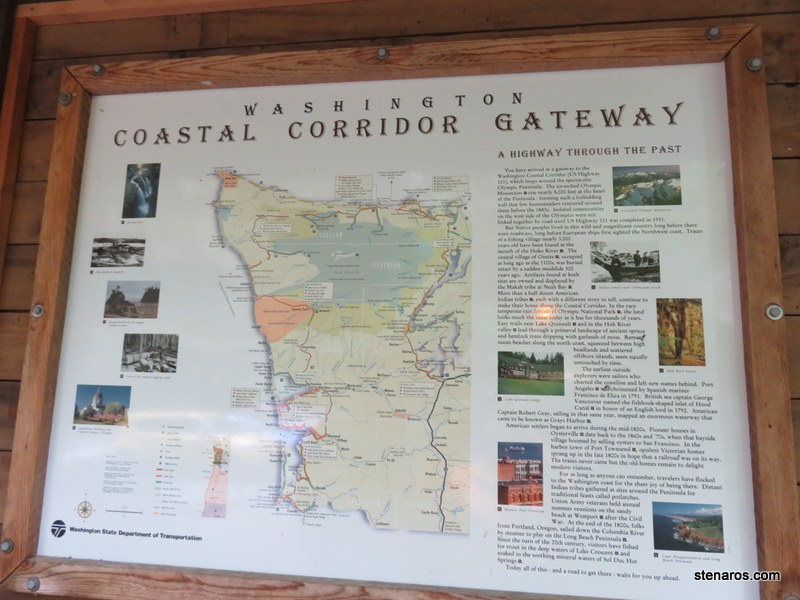
Our first hike was at Lake Quinault on the short Rain Forest Nature Trail.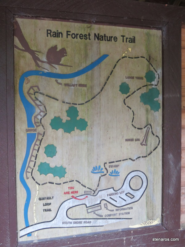
Matt and a very tall tree.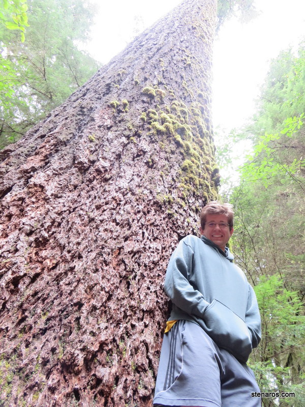
It was many “Matts” high.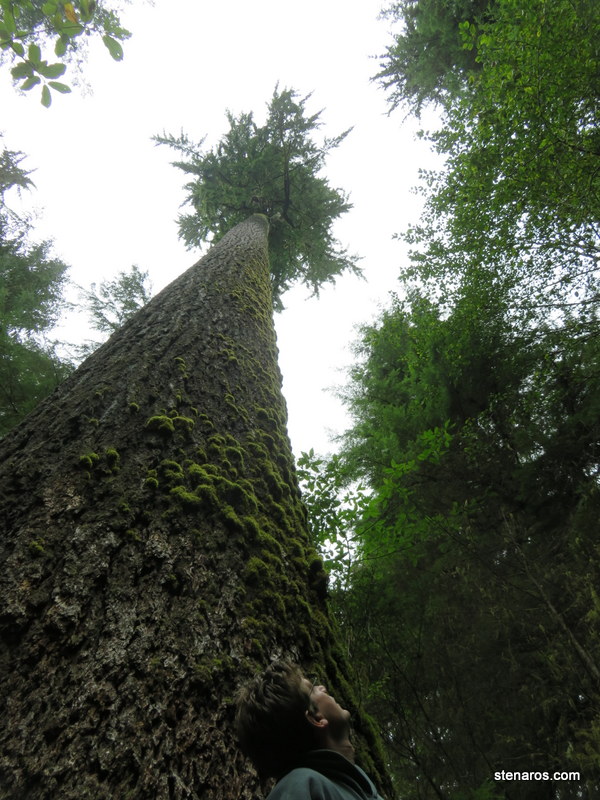
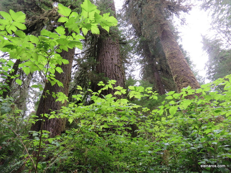
Greenery! What the rain forest has in abundance.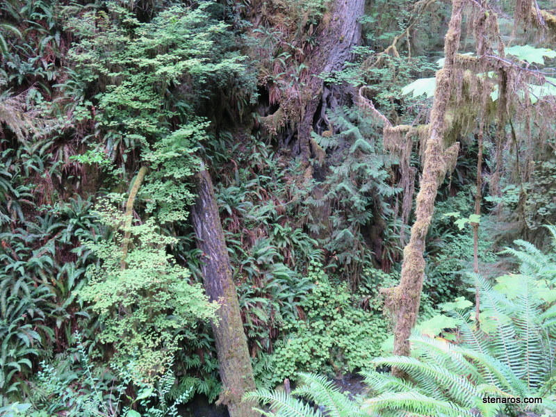
This interpretive sign was placed so you could easily see the four types of tree. See next picture.
That’s Matt at the end of that hollow log.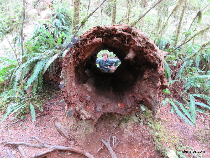
Lots of stuff going on with the ground in a rain forest.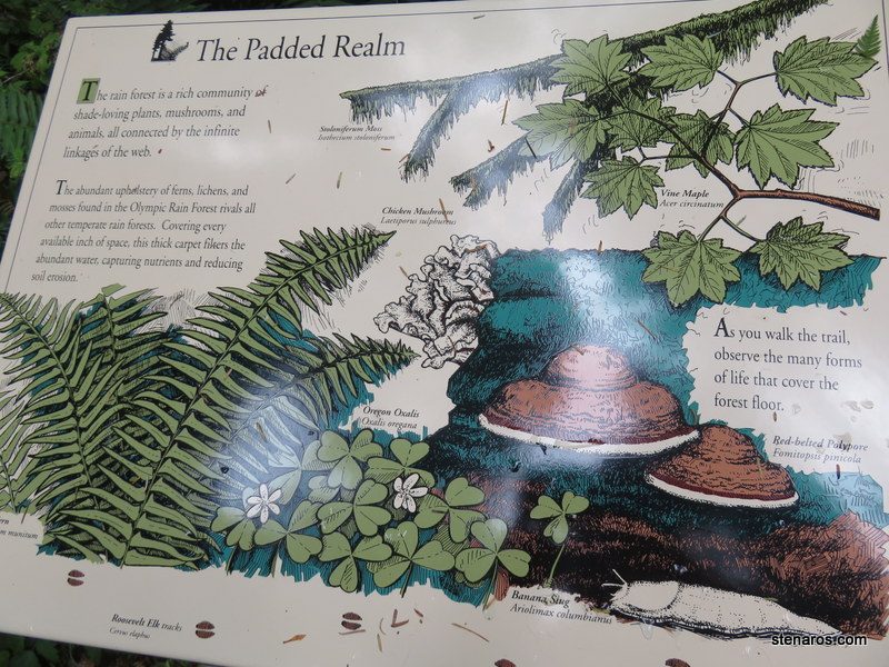
Matt in front of the Quinault Lodge.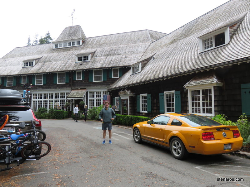
We had to stop at this site, because a regular feature of the drive to the beach in Oregon is the World’s Largest Sitka Spruce. Oregon’s specimen has suffered and is more of a stump now. So let’s see what Washington’s has for us.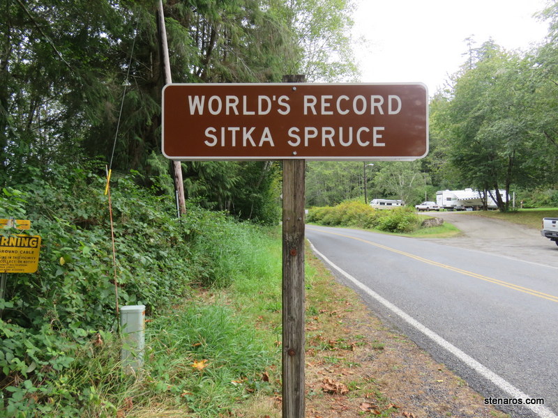
Looking tall!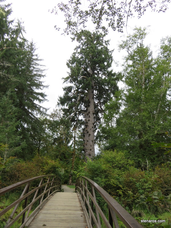
Look at those stats! Who knew the American Forest Association awarded points? And notice which state’s tree was a co-champion?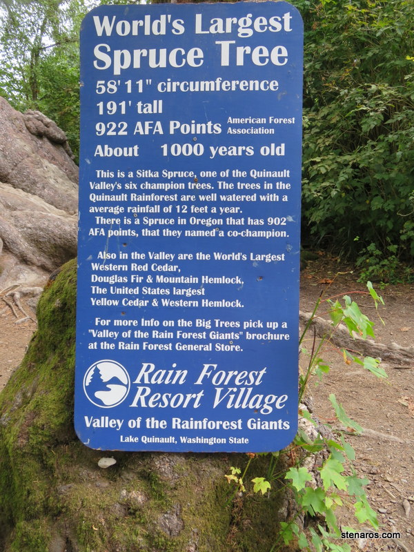
Matt took a closer look. 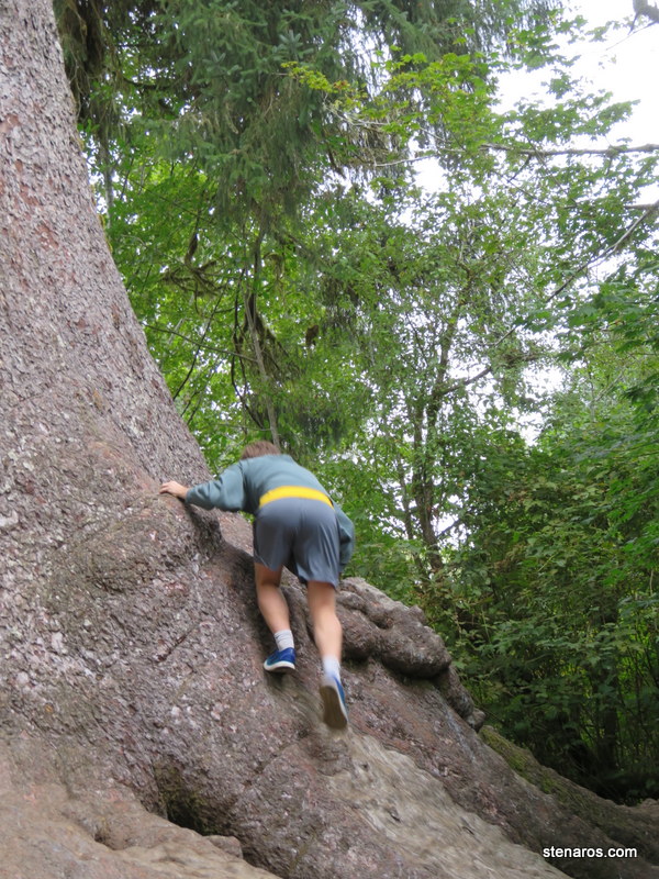
Big tree. Can be measured in many, many, many Matts.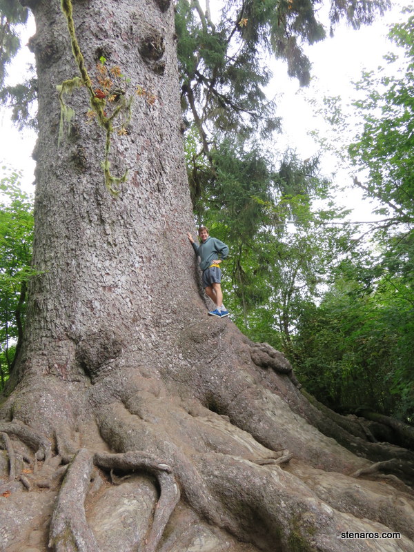
Our first view of the beach.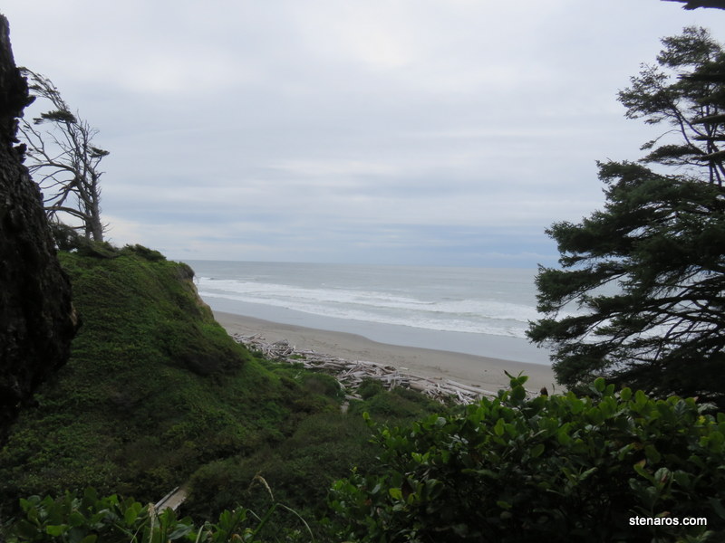
Big growth things on tree.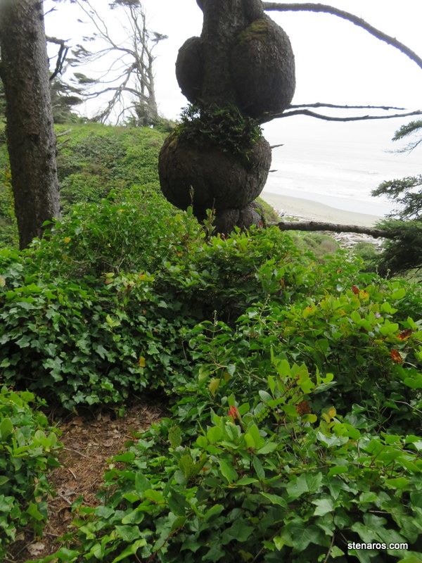
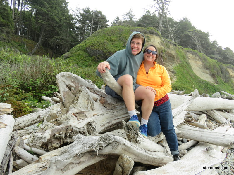
Not unlike Oregon beaches, this is full of driftwood. 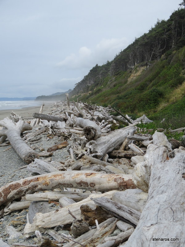
It was mostly empty too, with the exception of this couple, whose primary reason to visit the beach seems to have been so the woman could pose in a variety of places while having her picture taken. Matt and I were there for 20 minutes or so, and the photo taking was nonstop.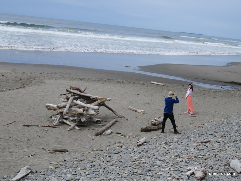
Photos are still happening as we pose for a self-portrait.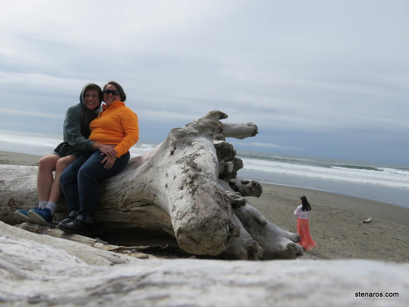
I liked this little flower.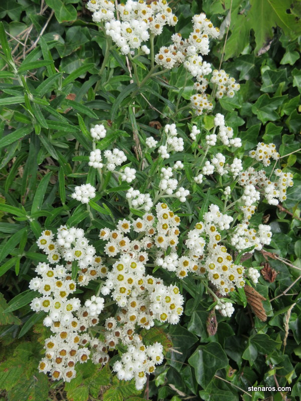
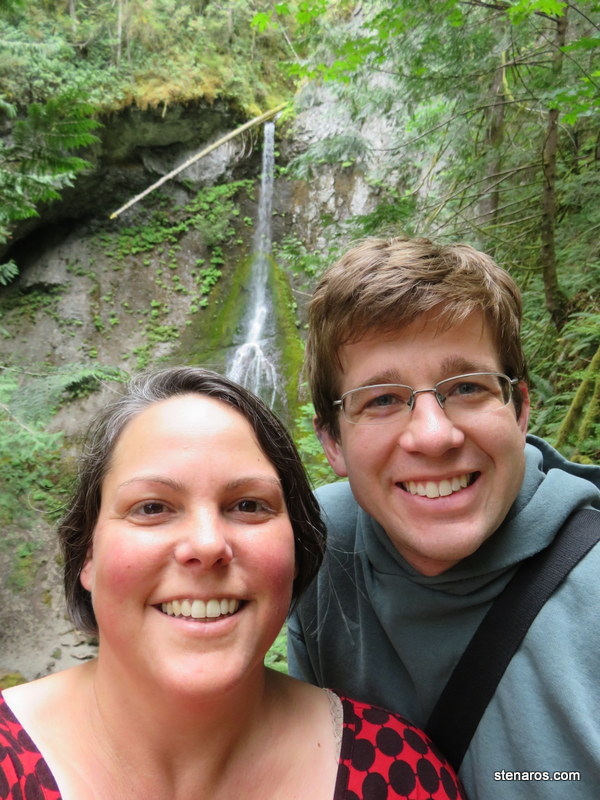
Our next hike of the day was Marymere Falls. We left our weapons at home, so didn’t have to worry about if we should take them on the trail or not. 🙂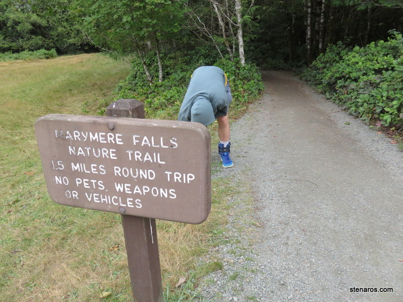
Creek and greenery.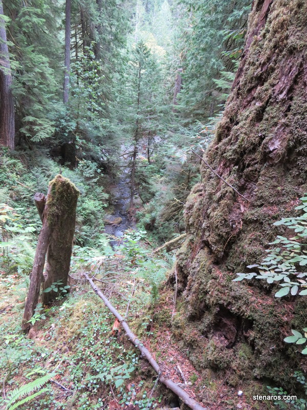
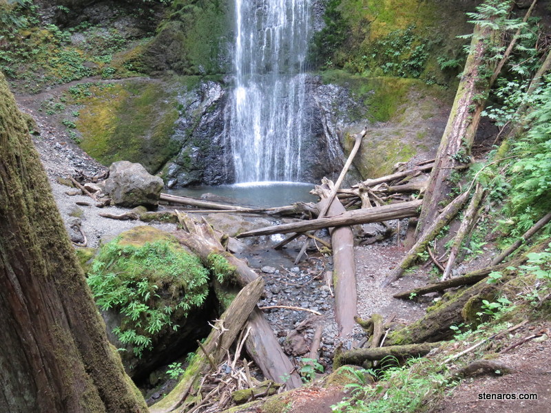
Marymere Falls.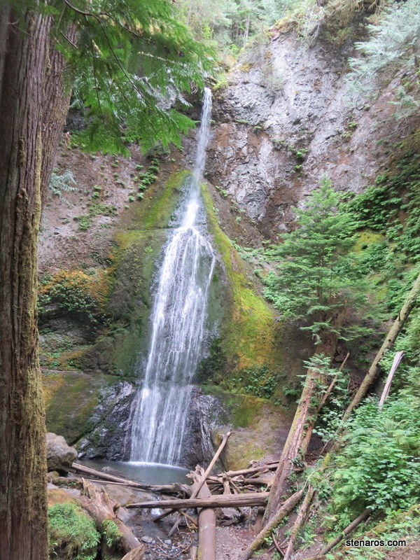
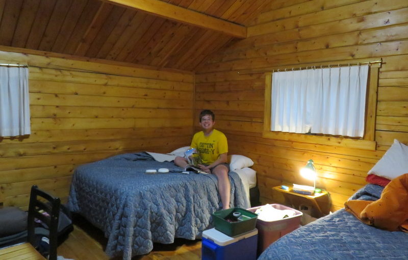
At the Log Cabin Resort, an interior view of our cabin. It came with bedding which I wasn’t expecting. 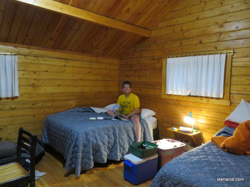
